 AURSEE
Aursee
Wildfires in Sololá
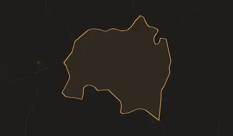
Detected · VIIRS 375 m · Suomi NPP, NOAA-20, NOAA-21 · last 24 hours · updated 2026-10-11 07:28 UTC
Follow Sololá: fire alerts by emailNo fires detected in Sololá in the last 24 hours.
Fire alerts for Sololá
Free. One email when satellites detect fire anywhere in Sololá, then at most one update a day while fires continue.
Free. Pick a town and we email you when satellites detect fire within 30 km of it.
Fire history, 2012–2025
Detected · VIIRS S-NPP 375 m · 0.01° cells (~1.1 km) · complete years 2012–2025 · built 2026-09-23
Between 2012 and 2025, VIIRS detected fire in 399 km² of Sololá at least once. In an average year it detected fire in 42 km², ranking 22nd of 22 regions of Guatemala.
Year by year
Detected area per year, km². Area of 0.01° cells with at least one detection in the year.
The busiest year was 2024, with 83 km² detected; the quietest was 2025, with 9.6 km². The 2021–2025 average is 10% lower than the 2012–2016 average.
Through the year
Share of all fire-days 2012–2025 by month. A fire-day is one cell with a detection on one day.
February, March and April together hold 85% of the fire-days in the record. The single busiest day was 23 March 2018, with detections in 9 cells.
Ground that burns again
Of the 399 km² with at least one detection, 11% had detections in three or more different years.
| Years with a detection | km² | Share |
|---|---|---|
| 1 year | 270 | 68% |
| 2 years | 85 | 21% |
| 3 to 5 years | 44 | 11% |
| 6 to 10 years | 0.0 | 0.0% |
| 11 years or more | 0.0 | 0.0% |
The half-degree square with the most fire-days is centred at 14.75, -91.25 and holds 100% of the region's fire-days.
The figures
Show the table
| Year | Detected km² | Fire-days |
|---|---|---|
| 2012 | 34 | 32 |
| 2013 | 49 | 50 |
| 2014 | 40 | 38 |
| 2015 | 37 | 32 |
| 2016 | 24 | 25 |
| 2017 | 72 | 84 |
| 2018 | 77 | 99 |
| 2019 | 65 | 69 |
| 2020 | 32 | 30 |
| 2021 | 25 | 28 |
| 2022 | 14 | 12 |
| 2023 | 34 | 29 |
| 2024 | 83 | 98 |
| 2025 | 9.6 | 9 |
Other regions of Guatemala
- Petén7,720 km² in an average year
- Alta Verapaz1,940 km² in an average year
- Escuintla1,310 km² in an average year
- Izabal1,300 km² in an average year
- Quiché976 km² in an average year
- Jutiapa826 km² in an average year
- How these figures are madeDetected area, cells, and the single-satellite record.
Detected area counts every 0.01° cell with at least one VIIRS detection, so a small fire counts as a whole cell and a fire missed by cloud or between passes is absent. Borders: Natural Earth 1:10m. 2012 begins on 20 January.