 AURSEE
Aursee · fire file
Fire near Miravânia, Brazil, 10 October 2026
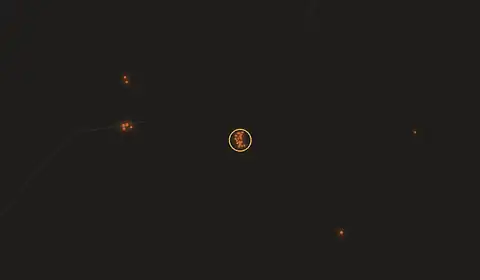
What the satellites saw
Every pixel VIIRS returned inside 6 km of this fire: 18 in daylight, 1 on the night pass. A pixel is 375 m, so the squares are drawn at the size the measurement has.
Where
Coastline and borders from Natural Earth at 110 m — regional context, not a survey. Each layer above is its own address, so a view can be shared.
A fire was first detected here at 15:58 UTC on 10 October 2026, 60 km W of Miravânia in Minas Gerais, Brazil. At its most recent pass it was putting out 208 megawatts of radiative power across 19 separate satellite detections.
The detections span about 2.3 km of ground.
No settlement in our index has population recorded within 25 km.
When the satellite first saw it
In local solar time the first detection falls at 12:58, which is the early afternoon. VIIRS passes about 01:30 and 13:30 local solar, so this is when the satellite looked: the fire began somewhere in the twelve hours before.
It was seen across 12.5 hours of satellite passes.
5% of the detections came from the night pass.
What this ground has done before
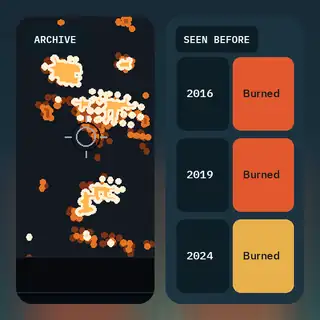
This ground has burned before. Our archive records fire here in 2013, 2014, 2015, 2019, 2021, 2022, 2023, 2025, across 14 days, most recently on 2025-10-30.
Wind and weather
At the fire, wind was 16 km/h from the E, carrying smoke and embers towards the W. Temperature 36°C, relative humidity 17%.
Twelve hours on, the forecast has wind at 7 km/h from the ESE. These are model figures at roughly 10 km resolution, not a reading taken at the fire.
Where analysis would go
Our screening pass scores this fire 0.60. The score ranks where analysis is worth spending.
What the screen noticed: 6 distinct events; activity compressed 13x versus a week-long release; events spread over 19 km - too far apart to be one fire, close enough to share an actor.
Read from satellite detections and weather. No roads, no land cover, no ground visit.
What else this page knows
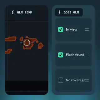
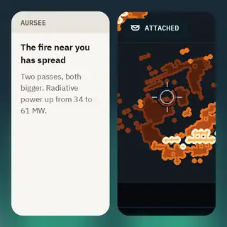
Each of these is attached to every fire, including this one.
Get fire alerts near Miravânia
Free. One email when satellites detect fire anywhere in Minas Gerais, then at most one update a day while fires continue.
Free. Pick a town and we email you when satellites detect fire within 30 km of it.
A detection is a heat signature at 375 m, about three hours behind the satellite. Cloud, smoke and canopy hide fires; each satellite passes twice a day. Not for evacuation or life-safety decisions — follow your local fire service.
Written from our own measurements; composed. Open this fire on the live map.